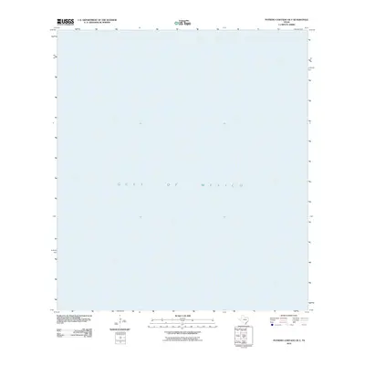
2010 Map of Potrero Cortado OE E
USGS Topo · Published 2010About this map
The Gulf of Mexico completely occupies this 2010 survey of the offshore waters east of the Texas coast. Situated off Kenedy County, the map provides a focused look at the maritime expanse during the early 21st century. Because this specific quadrangle covers open water rather than the barrier islands or shoreline, it serves as a distinct spatial reference for the deep-water hydrography of the region. The absence of land-based features or settlements emphasizes the purely nautical nature of this sector, offering a clear record of the coastal shelf at this point in time.
Find a feature on this map
1 named feature on this map. Tap any name to fly to it.
Don’t see what you’re looking for? This feature index may not catch every label — zoom into the map to look around manually.
Map Details
Editions of this 2010 Potrero Cortado OE E Map
This is the sole edition of this map. No revisions or reprints were ever made.
Other maps of this area

1923 · Lopena Island
USGS Topo · 1:62,500

1950 · Corpus Christi
USGS Topo · 1:250,000

1951 · Potrero Lopeno NW
USGS Topo · 1:24,000

1952 · Potrero Cortado
USGS Topo · 1:24,000

1952 · Yarborough Pass
USGS Topo · 1:24,000

1952 · Potrero Lopeno
USGS Topo · 1:62,500

1953 · Brownsville
USGS Topo · 1:250,000
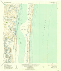
1955 · Potrero Cortado
USGS Topo · 1:62,500

1956 · Corpus Christi
USGS Topo · 1:250,000

1956 · Brownsville
USGS Topo · 1:250,000