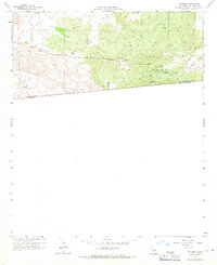
1960 Map of Potrero
USGS Topo · Published 1967About this map
Potrero sits at the heart of this borderland survey, positioned in the open expanse of Big Potrero Valley. This mid-century landscape is defined by its proximity to the United States Mexico international boundary, where the settlement of Tecate anchors the southwestern corner of the sheet. The area's infrastructure reflects a reliance on both water management and rugged transit, featuring numerous wells, a Gaging Sta, and a network of Jeep Trails cutting through the high country around Hauser Mountain.
Find a feature on this map
17 named features on this map. Tap any name to fly to it.
Don’t see what you’re looking for? This feature index may not catch every label — zoom into the map to look around manually.
Map Details
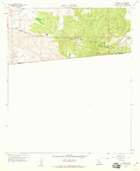
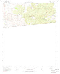
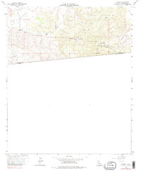
Editions of this 1960 Potrero Map
4 editions found
Other maps of this area

1903 · Cuyamaca
USGS Topo · 1:125,000

1904 · Southern California Sheet No. 2
USGS Topo · 1:250,000

1931 · Carrizo
USGS Topo · 1:125,000

1939 · Campo
USGS Topo · 1:62,500

1942 · Potrero
USGS Topo · 1:48,000

1942 · Campo
USGS Topo · 1:62,500

1944 · Potrero
USGS Topo · 1:62,500

1950 · San Diego
USGS Topo · 1:250,000

1954 · San Diego
USGS Topo · 1:250,000

1955 · San Diego
USGS Topo · 1:250,000