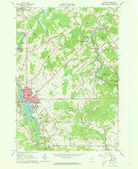
1964 Map of Potsdam
USGS Topo · Published 1973About this map
The Raquette River and West Branch St Regis River define the hydraulic and economic character of this mid-1960s landscape. In Potsdam, the intersection of industry and education is clear, with Clarkson College and the State Teachers College situated near the riverbanks, while the New York Central Railroad corridor connects the village to Norwood and Unionville. Numerous small cemeteries, such as Bayside Cem, Garfield Cem, and Old St Marys Cem, provide significant touchpoints for genealogical research in the rural townships of Stockholm and Parishville. The map captures a moment when mid-century leisure, represented by the Drive-in Theater and Potsdam Country Club, exists alongside traditional agricultural and resource-extraction sites like the many scattered Gravel Pits.
Find a feature on this map
93 named features on this map. Tap any name to fly to it.
Don’t see what you’re looking for? This feature index may not catch every label — zoom into the map to look around manually.
Map Details
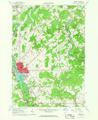
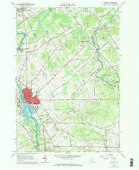
Editions of this 1964 Potsdam Map
3 editions found
Other maps of this area

1905 · Waddington
USGS Topo · 1:62,500

1906 · Massena
USGS Topo · 1:62,500

1907 · Massena
USGS Topo · 1:62,500

1908 · Potsdam
USGS Topo · 1:62,500

1910 · Canton
USGS Topo · 1:62,500

1911 · Canton
USGS Topo · 1:62,500

1942 · Long Bow
USGS Topo · 1:24,000

1942 · Chase Mills
USGS Topo · 1:24,000

1942 · Norfolk
USGS Topo · 1:24,000

1943 · Potsdam
USGS Topo · 1:31,680