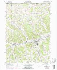
1957 Map of Potter Brook
USGS Topo · Published 1990About this map
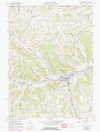
Westfield serves as the primary hub along the Cowanesque River in this mid-century survey of Tioga County. The landscape is defined by its deep drainage patterns, with numerous named hollows like Brace Hollow and Pritchard Hollow feeding into the main river valley. Transport and industry are evident through the crossing of the Penn Central and Wa&G railroads, as well as the presence of the Malco Airfield and a Television Relay Station on the heights of the Westfield terrain.
Find a feature on this map
62 named features on this map. Tap any name to fly to it.
Don’t see what you’re looking for? This feature index may not catch every label — zoom into the map to look around manually.
Map Details
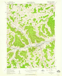
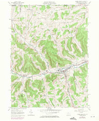
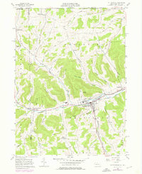
Editions of this 1957 Potter Brook Map
6 editions found
Other maps of this area

1899 · Gaines
USGS Topo · 1:62,500

1900 · Gaines
USGS Topo · 1:62,500

1900 · Elkland
USGS Topo · 1:62,500

1924 · Woodhull
USGS Topo · 1:48,000

1926 · Woodhull
USGS Topo · 1:62,500

1926 · Greenwood
USGS Topo · 1:62,500

1944 · Woodhull
USGS Topo · 1:62,500

1950 · Elmira
USGS Topo · 1:250,000

1953 · Woodhull
USGS Topo · 1:24,000

1954 · Williamsport
USGS Topo · 1:250,000