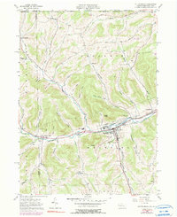
1957 Map of Potter Brook
USGS Topo · Published 1999About this map
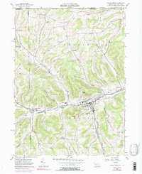
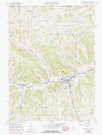
Westfield serves as the primary hub of this northern Pennsylvania landscape, situated at the confluence of the Cowanesque River and Addison Creek. The community is marked by its industrial and civic infrastructure, including sludge pits, a high school, and the borough boundary. A network of railroads, including the Penn Central and the W A & G, follow the river valley, tracing the transport corridor that linked these highland settlements.
Find a feature on this map
58 named features on this map. Tap any name to fly to it.
Don’t see what you’re looking for? This feature index may not catch every label — zoom into the map to look around manually.
Map Details
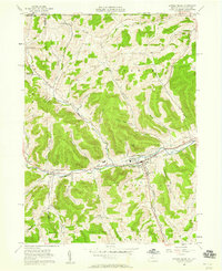
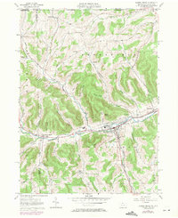
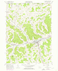
Editions of this 1957 Potter Brook Map
6 editions found
Other maps of this area

1899 · Gaines
USGS Topo · 1:62,500

1900 · Gaines
USGS Topo · 1:62,500

1900 · Elkland
USGS Topo · 1:62,500

1924 · Woodhull
USGS Topo · 1:48,000

1926 · Woodhull
USGS Topo · 1:62,500

1926 · Greenwood
USGS Topo · 1:62,500

1944 · Woodhull
USGS Topo · 1:62,500

1950 · Elmira
USGS Topo · 1:250,000

1953 · Woodhull
USGS Topo · 1:24,000

1954 · Williamsport
USGS Topo · 1:250,000