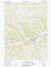
1957 Map of Potter Brook
USGS Topo · Published 1990About this map
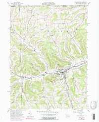
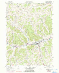
The Cowanesque River corridor anchors this mid-century survey of Tioga County, where the borough of Westfield serves as the primary hub of commerce and transit. Settlement patterns follow the valley floors, with the Penn Central and Wa&G railroads providing the industrial backbone for communities like Cowanesque and Potter Brook. The terrain is defined by a dense network of hollows, including California Hollow and Shingle Shanty Hollow, which drain toward the river from the surrounding uplands. Local history is etched into the landscape through numerous family and community burial grounds such as Mt Pleasant Cemetery, Plank Cem, and Champlin Cem. Beyond the river valley, the map details rural life in Brookfield and Sylvester, showing a landscape of scattered farmsteads and narrow roads like Plank Road winding through the timbered heights near Asaph Peak.
Find a feature on this map
60 named features on this map. Tap any name to fly to it.
Don’t see what you’re looking for? This feature index may not catch every label — zoom into the map to look around manually.
Map Details
Editions of this 1957 Potter Brook Map
6 editions found
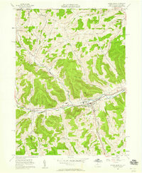
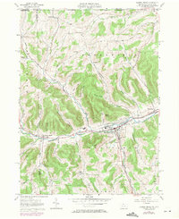
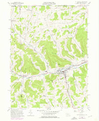
Other maps of this area

1899 · Gaines
USGS Topo · 1:62,500

1900 · Gaines
USGS Topo · 1:62,500

1900 · Elkland
USGS Topo · 1:62,500

1924 · Woodhull
USGS Topo · 1:48,000

1926 · Woodhull
USGS Topo · 1:62,500

1926 · Greenwood
USGS Topo · 1:62,500

1944 · Woodhull
USGS Topo · 1:62,500

1950 · Elmira
USGS Topo · 1:250,000

1953 · Woodhull
USGS Topo · 1:24,000

1954 · Williamsport
USGS Topo · 1:250,000