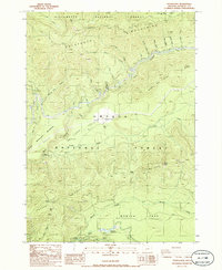
1986 Map of Potter Mtn
USGS Topo · Published 1986About this map
The Calapooya Mountains and the high ridges of the Cascades define this mid-1980s landscape, where the North Umpqua River and Clearwater River carve deep drainages through the Willamette and Umpqua National Forests. The map reveals a high-elevation wilderness managed for both recreation and resource utility, featuring the isolated Winter Night Camp and the notable Umpqua Hot Springs. Evidence of water management and power infrastructure is clear at the Deer Creek Diversion Dam and Clearwater Forebay No 1, which utilize the area's steep gradients. Natural landmarks like Potter Mtn, Watson Butte, and the Mowich Cave stand alongside numerous quarries, indicating active land use within the rugged volcanic terrain of the Watson Ridge and Dread and Terror Ridge systems.
Find a feature on this map
41 named features on this map. Tap any name to fly to it.
Don’t see what you’re looking for? This feature index may not catch every label — zoom into the map to look around manually.
Map Details
Editions of this 1986 Potter Mtn Map
This is the sole edition of this map. No revisions or reprints were ever made.
Other maps of this area

1917 · Diamond Lake
USGS Topo · 1:125,000

1956 · Toketee Falls
USGS Topo · 1:62,500

1956 · Diamond Lake
USGS Topo · 1:62,500

1956 · Summit Lake
USGS Topo · 1:62,500

1956 · Garwood Butte
USGS Topo · 1:62,500

1958 · Roseburg
USGS Topo · 1:250,000

1959 · Roseburg
USGS Topo · 1:250,000

1978 · Diamond Lake
USGS Topo · 1:100,000
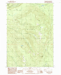
1985 · Garwood Butte
USGS Topo · 1:24,000
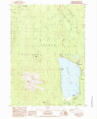
1985 · Diamond Lake
USGS Topo · 1:24,000