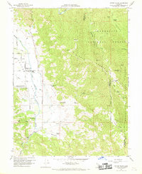
1960 Map of Potter Valley
USGS Topo · Published 1969About this map
Potter Valley is situated at a unique hydrological junction in the California Coast Ranges, where the Eel River and the East Fork Russian River converge near human-engineered infrastructure like the Powerhouse and its associated canals. The agricultural heart of the valley is clearly defined by a network of family-held properties such as Ingle Ranch, Fritsche Ranch, and Guntley Ranch, reflecting the area's rural development. Social and civic life in the mid-20th century is anchored by the High Sch, the Potter Valley Cem, and the Potter Valley Rancheria. Beyond the valley floor, the terrain rises sharply into the Mendocino National Forest and Middle Mountain, where fire protection is marked by the Garrett Mtn Lookout and Pine Mtn Lookout. The presence of the Pomo (Site) identifies the ancestral geography of the region, while an Airstrip and Quarry indicate the area's modern utility and extraction history.
Find a feature on this map
43 named features on this map. Tap any name to fly to it.
Don’t see what you’re looking for? This feature index may not catch every label — zoom into the map to look around manually.
Map Details
Editions of this 1960 Potter Valley Map
2 editions found
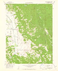
Other maps of this area

1920 · Ukiah
USGS Topo · 1:62,500

1922 · Hullville
USGS Topo · 1:62,500

1938 · Lakeport
USGS Topo · 1:62,500

1943 · Pomo
USGS Topo · 1:62,500

1944 · Ukiah
USGS Topo · 1:62,500

1951 · Lake Pillsbury
USGS Topo · 1:62,500

1951 · Lakeport
USGS Topo · 1:62,500

1957 · Ukiah
USGS Topo · 1:250,000

1958 · Ukiah
USGS Topo · 1:24,000

1958 · Cow Mountain
USGS Topo · 1:24,000