
1971 Map of Potters Creek
USGS Topo · Published 1974About this map
The Grouse Creek Mountains dominate this high-altitude landscape in northwestern Utah, recorded here just before the early 1970s. The terrain is defined by steep canyons and seasonal watercourses, including Potters Creek and Muddy Creek, which drain the eastern slopes toward the Dry Basin. Evidence of early land use is scattered throughout the region, from the Corral and Sickle Spring in the south to a lonely Prospect located near the headwaters of South Fork Red Butte Creek. A series of primitive paths and Jeep Trails provide the only access through the high passes, such as Ingham Pass, situated between the peaks of Ingham Peak and Red Butte. This map captures a moment of remote land management where springs like Rosebud Spring and grazing areas such as Buck Pasture served as vital points for livestock and prospecting in an otherwise arid environment.
Find a feature on this map
29 named features on this map. Tap any name to fly to it.
Don’t see what you’re looking for? This feature index may not catch every label — zoom into the map to look around manually.
Map Details
Editions of this 1971 Potters Creek Map
This is the sole edition of this map. No revisions or reprints were ever made.
Other maps of this area

1954 · Brigham City
USGS Topo · 1:250,000

1958 · Brigham City
USGS Topo · 1:250,000

1959 · Cotton Thomas Basin
USGS Topo · 1:62,500

1959 · Yost
USGS Topo · 1:62,500

1962 · Brigham City
USGS Topo · 1:250,000

1971 · Prohibition Spring
USGS Topo · 1:24,000

1971 · Emigrant Pass
USGS Topo · 1:24,000
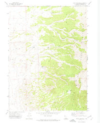
1971 · Rocky Pass Peak
USGS Topo · 1:24,000

1971 · Warm Spring Hills
USGS Topo · 1:24,000
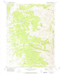
1971 · Ingham Canyon
USGS Topo · 1:24,000