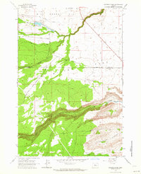
1963 Map of Potters Ponds
USGS Topo · Published 1964About this map
Sidwalter Corral and the surrounding high plateau of Miller Flat define this 1963 landscape, where the high-desert terrain of the Warm Springs Indian Reservation meets the boundary between Wasco and Jefferson Counties. The map documents a specialized rural infrastructure centered on water management and grazing, with sites like Sidwalter and Boulder Corral connected by a network of primitive routes such as Old Mill Road and Boulder Road. These features suggest a period when livestock management and seasonal camps were central to the area's utility.
Find a feature on this map
21 named features on this map. Tap any name to fly to it.
Don’t see what you’re looking for? This feature index may not catch every label — zoom into the map to look around manually.
Map Details
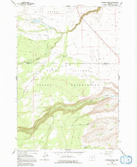
Editions of this 1963 Potters Ponds Map
2 editions found
Other maps of this area

1927 · Mt. Jefferson
USGS Topo · 1:125,000

1928 · Madras
USGS Topo · 1:125,000

1930 · Mt. Jefferson
USGS Topo · 1:125,000

1931 · Madras
USGS Topo · 1:125,000

1955 · Bend
USGS Topo · 1:250,000

1957 · Bend
USGS Topo · 1:250,000

1958 · Bend
USGS Topo · 1:250,000

1961 · Whitewater River
USGS Topo · 1:62,500

1961 · Fort Butte
USGS Topo · 1:62,500

1962 · Metolius Bench
USGS Topo · 1:24,000