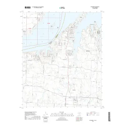
2022 Map of Pottsboro
USGS Topo · Published 2022About this map
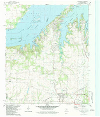
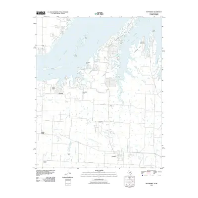
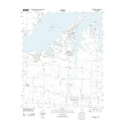
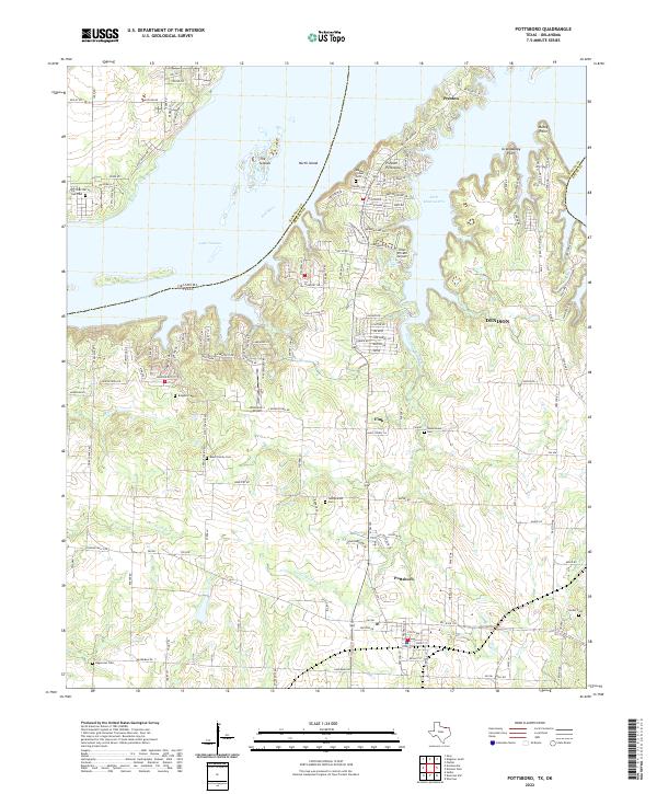
Pottsboro and the Preston Peninsula anchor this 2022 survey of the southern reaches of Lake Texoma. The map reveals a landscape defined by the intricate shoreline of the Red River impoundment, where narrow fingers of water like the Little Mineral Arm reach into the North Texas countryside. The area around Preston and Denison shows a high density of residential road networks such as Preston Bend Rd and Shoreline Rd, reflecting the region's development as a lakeside community. For those researching local history or genealogy, the map identifies several small burial grounds including the Black Family Cem, Brogdon Cem, and Hagerman Cem. Small aviation hubs like the Hitex Private Airport and Diamond J Airport serve the area, while the natural terrain features such as The Islands and Grandpappy Point mark the complex boundary between the land and the vast waters of the reservoir.
Find a feature on this map
154 named features on this map. Tap any name to fly to it.
Don’t see what you’re looking for? This feature index may not catch every label — zoom into the map to look around manually.
Map Details
Editions of this 2022 Pottsboro Map
This is the sole edition of this map. No revisions or reprints were ever made.
Historical Maps of Denison Through Time
6 maps found