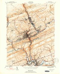
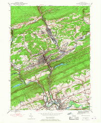
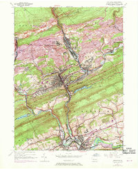
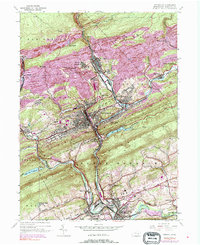
1944 Map of Pottsville
USGS Topo · Published 1953About this map
Pottsville and the surrounding coal-country settlements define this landscape, where the dense concentration of industry and infrastructure follows the narrow valleys of the anthracite region. The map reveals an intricate web of transportation, dominated by the Reading, Pennsylvania, and Lehigh Valley railroads that snake through the ridges to serve the mines and towns. This transportation network highlights the industrial primacy of the era, linking centers like St Clair and Port Carbon to the broader regional economy.
Find a feature on this map
47 named features on this map. Tap any name to fly to it.
Don’t see what you’re looking for? This feature index may not catch every label — zoom into the map to look around manually.
Map Details
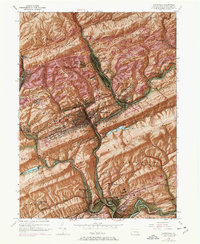
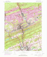
Editions of this 1944 Pottsville Map
10 editions found
Other maps of this area

1889 · Catawissa
USGS Topo · 1:62,500

1889 · Pottsville
USGS Topo · 1:62,500

1891 · Pottsville
USGS Topo · 1:62,500

1892 · Catawissa
USGS Topo · 1:62,500

1892 · Mahanoy
USGS Topo · 1:62,500

1892 · Pine Grove
USGS Topo · 1:62,500

1893 · Mahanoy
USGS Topo · 1:62,500

1894 · Catawissa
USGS Topo · 1:62,500

1944 · Pottsville
USGS Topo · 1:24,000

1944 · Orwigsburg
USGS Topo · 1:24,000