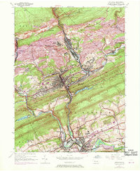
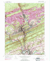
1944 Map of Pottsville
USGS Topo · Published 1969About this map
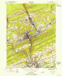
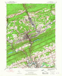
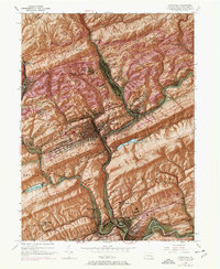
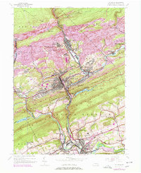
Pottsville and its surrounding anthracite coal country are shown here in the 1940s, with updates reflecting the late 1960s. The landscape is heavily defined by the extraction economy, featuring operations like East Mines and the Coal Castle settlement. The dense rail infrastructure of the Reading and Penn Central lines reveals how the region’s topography dictated the flow of industry through the narrow valleys. Settlements like St Clair, Port Carbon, and Palo Alto cluster along the Schuylkill River and its tributaries, including Wolf Creek and Mill Creek. To the south, the terrain transitions toward Schuylkill Haven and Cressona, where the Indian Run Reservoir and Schuylkill Haven Reservoir manage the local water supply. The map provides a clear view of the neighborhood growth in places like Arnotts Addition and Mechanicsville during this mid-century period.
Find a feature on this map
46 named features on this map. Tap any name to fly to it.
Don’t see what you’re looking for? This feature index may not catch every label — zoom into the map to look around manually.
Map Details
Editions of this 1944 Pottsville Map
10 editions found
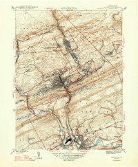
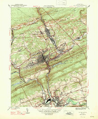
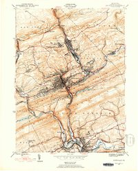
Other maps of this area

1889 · Catawissa
USGS Topo · 1:62,500

1889 · Pottsville
USGS Topo · 1:62,500

1891 · Pottsville
USGS Topo · 1:62,500

1892 · Catawissa
USGS Topo · 1:62,500

1892 · Mahanoy
USGS Topo · 1:62,500

1892 · Pine Grove
USGS Topo · 1:62,500

1893 · Mahanoy
USGS Topo · 1:62,500

1894 · Catawissa
USGS Topo · 1:62,500

1944 · Pottsville
USGS Topo · 1:24,000

1944 · Orwigsburg
USGS Topo · 1:24,000