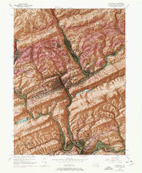
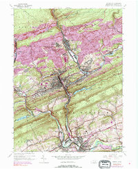
1944 Map of Pottsville
USGS Topo · Published 1969About this map
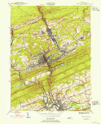
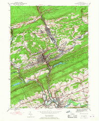
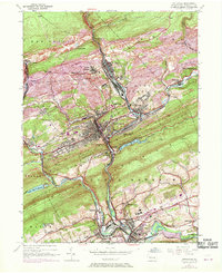
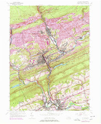
Pottsville and the surrounding anthracite coal country are shown here in detail, revealing a landscape defined by industrial extraction and rail transport. The confluence of the Schuylkill River and its branches serves as the corridor for extensive networks of the Reading and Penn Central railroads, which weave through valleys to service numerous strip mines. The settlement pattern follows these narrow valley floors, from the dense urban center of Pottsville to smaller satellite communities like St Clair, Palo Alto, and Mount Carbon.
Find a feature on this map
53 named features on this map. Tap any name to fly to it.
Don’t see what you’re looking for? This feature index may not catch every label — zoom into the map to look around manually.
Map Details
Editions of this 1944 Pottsville Map
10 editions found
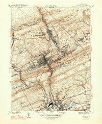
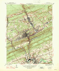
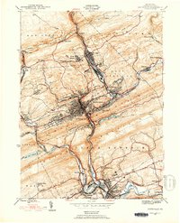
Other maps of this area

1889 · Catawissa
USGS Topo · 1:62,500

1889 · Pottsville
USGS Topo · 1:62,500

1891 · Pottsville
USGS Topo · 1:62,500

1892 · Catawissa
USGS Topo · 1:62,500

1892 · Mahanoy
USGS Topo · 1:62,500

1892 · Pine Grove
USGS Topo · 1:62,500

1893 · Mahanoy
USGS Topo · 1:62,500

1894 · Catawissa
USGS Topo · 1:62,500

1944 · Pottsville
USGS Topo · 1:24,000

1944 · Orwigsburg
USGS Topo · 1:24,000