
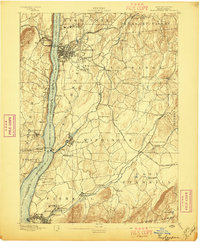
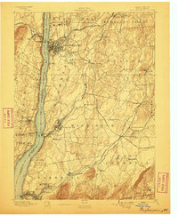
1894 Map of Poughkeepsie
USGS Topo · Published 1894About this map
Poughkeepsie and the mid-Hudson Valley are captured in this late nineteenth-century survey, a period defined by the convergence of major rail lines and established riverside settlements. The map highlights the city's growth from the dense street grid near College Hill to the expanding campus of Vassar College and the sprawling Hudson River State Hospital complex. Along the eastern shore, the New York Central And Hudson River R. R. serves as a vital artery, while inland, the network of the Newburg Dutchess And Connecticut R. R. and the Dutchess County R. R. connects manufacturing hamlets like Glenham and Manchester Bridge.
Find a feature on this map
80 named features on this map. Tap any name to fly to it.
Don’t see what you’re looking for? This feature index may not catch every label — zoom into the map to look around manually.
Map Details
Editions of this 1894 Poughkeepsie Map
3 editions found
Other maps of this area

1892 · West Point
USGS Topo · 1:62,500

1892 · Carmel
USGS Topo · 1:62,500

1893 · Carmel
USGS Topo · 1:62,500

1893 · Clove
USGS Topo · 1:62,500

1893 · Poughkeepsie
USGS Topo · 1:62,500

1894 · West Point
USGS Topo · 1:62,500

1894 · Clove
USGS Topo · 1:62,500

1894 · Carmel
USGS Topo · 1:62,500

1898 · Clove
USGS Topo · 1:62,500

1898 · Rhinebeck
USGS Topo · 1:62,500