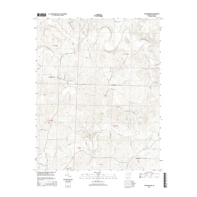
2014 Map of Poughkeepsie
USGS Topo · Published 2014About this map
Poughkeepsie and the rural townships of Sharp County are defined by the winding course of the Strawberry River and its numerous tributaries. This landscape is marked by a deep network of family and community history, evidenced by the high density of small burial grounds such as Spotts Cem, Jarrett Cem, and Mt Pisgah Cem that dot the wooded ridges. The topography is segmented by creek valleys including Hurricane Cr, Mill Cr, and the distinctive Brooks Hurricane Hollow, which directed the placement of early road corridors like Ar-58 and Ar-115.
Find a feature on this map
81 named features on this map. Tap any name to fly to it.
Don’t see what you’re looking for? This feature index may not catch every label — zoom into the map to look around manually.
Map Details
Editions of this 2014 Poughkeepsie Map
This is the sole edition of this map. No revisions or reprints were ever made.
Other maps of this area

1890 · Batesville
USGS Topo · 1:125,000

1891 · Batesville
USGS Topo · 1:125,000

1932 · Strawberry
USGS Topo · 1:62,500

1935 · Strawberry
USGS Topo · 1:62,500

1941 · Strawberry
USGS Topo · 1:62,500

1943 · Cave City
USGS Topo · 1:31,680

1953 · Memphis
USGS Topo · 1:250,000

1955 · Strawberry
USGS Topo · 1:24,000

1956 · Memphis
USGS Topo · 1:250,000

1957 · Poplar Bluff
USGS Topo · 1:250,000