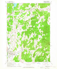
1964 Map of Poultney
USGS Topo · Published 1965About this map
The Delaware and Hudson railroad corridor anchors this mid-century landscape, linking the slate-producing region of western Vermont with upstate New York. The map captures a transition point between industry and education, featuring both the sprawling quarries near Blissville and the academic campuses of Castleton State College and Green Mtn College. Numerous family and community burial grounds, such as Culver Cem, Fifield Cem, and Hillside Cem, are scattered across the hills, offering vital touchpoints for genealogical research.
Find a feature on this map
49 named features on this map. Tap any name to fly to it.
Don’t see what you’re looking for? This feature index may not catch every label — zoom into the map to look around manually.
Map Details
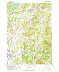
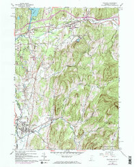
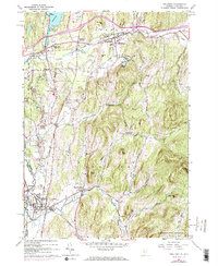
Editions of this 1964 Poultney Map
4 editions found
Other maps of this area

1893 · Fort Ann
USGS Topo · 1:62,500

1893 · Whitehall
USGS Topo · 1:62,500

1894 · Pawlet
USGS Topo · 1:62,500

1895 · Whitehall
USGS Topo · 1:62,500

1895 · Fort Ann
USGS Topo · 1:62,500

1895 · Castleton
USGS Topo · 1:62,500

1897 · Pawlet
USGS Topo · 1:62,500

1897 · Castleton
USGS Topo · 1:62,500

1898 · Whitehall
USGS Topo · 1:62,500

1898 · Fort Ann
USGS Topo · 1:62,500