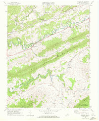
1968 Map of Pounding Mill
USGS Topo · Published 1972About this map
Pounding Mill and Cedar Bluff anchor this survey of the Appalachian landscape in the late 1960s, where the Clinch River carves a winding path through the valley between Smith Ridge and Deskin Mountain. The industrial and transport character of the era is defined by the Norfolk and Western railroad corridor, which follows the river's bend past a prominent quarry and small communities like Cliffield and Gillespie.
Find a feature on this map
38 named features on this map. Tap any name to fly to it.
Don’t see what you’re looking for? This feature index may not catch every label — zoom into the map to look around manually.
Map Details
Editions of this 1968 Pounding Mill Map
2 editions found
Other maps of this area

1891 · Tazewell
USGS Topo · 1:125,000

1891 · Abingdon
USGS Topo · 1:125,000

1894 · Abingdon
USGS Topo · 1:125,000

1895 · Tazewell
USGS Topo · 1:125,000

1897 · Tazewell
USGS Topo · 1:125,000

1909 · Abingdon
USGS Topo · 1:96,000

1911 · Abingdon
USGS Topo · 1:125,000

1912 · Pounding Mill
USGS Topo · 1:62,500

1915 · Richlands
USGS Topo · 1:48,000

1916 · Pounding Mill
USGS Topo · 1:62,500