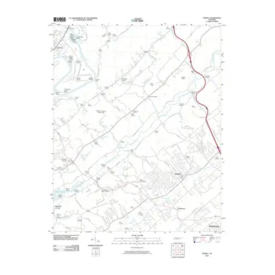
2010 Map of Powell
USGS Topo · Published 2010About this map
Powell and the northern outskirts of Knoxville form a landscape of suburban growth intermingled with deep-rooted rural history. The presence of numerous family burial grounds, such as the Altum Cemetery, Mabry Cemetery, and the Slave Cemetery, points to the agricultural heritage of the Bullrun Valley and Brushy Valley. Industrial and commercial activity is evident along the northern edge at Clinton, where the Clinch River meanders past Eagle Bend and various shoals. Transport infrastructure is a defining characteristic of the era, from the small Powell Airport to the rail infrastructure at Jordan Siding. Natural landmarks like Stillhouse Hollow and Dismal Gap break up the ridges, while legacy sites like Baker Mill and the Heiskell Post Office anchor the smaller communities outside the city limits.
Find a feature on this map
150 named features on this map. Tap any name to fly to it.
Don’t see what you’re looking for? This feature index may not catch every label — zoom into the map to look around manually.
Map Details
Editions of this 2010 Powell Map
This is the sole edition of this map. No revisions or reprints were ever made.
Other maps of this area

1886 · Knoxville
USGS Topo · 1:125,000

1892 · Knoxville
USGS Topo · 1:125,000

1893 · Briceville
USGS Topo · 1:125,000

1894 · Knoxville
USGS Topo · 1:125,000

1895 · Loudon
USGS Topo · 1:125,000

1895 · Briceville
USGS Topo · 1:125,000

1895 · Knoxville
USGS Topo · 1:125,000

1896 · Briceville
USGS Topo · 1:125,000

1897 · Maynardville
USGS Topo · 1:125,000

1900 · Maynardville
USGS Topo · 1:125,000