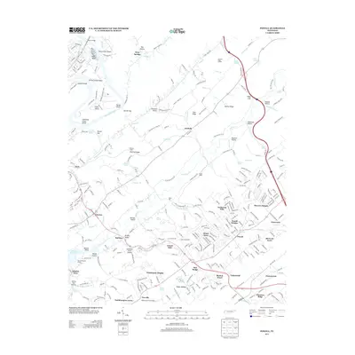
2013 Map of Powell
USGS Topo · Published 2013About this map
Powell and the surrounding suburban developments of Knox and Anderson Counties appear here in the early 21st century, revealing a landscape defined by the winding course of Beaver Cr and the ridges of the Appalachian Valley. Residential growth is evident in clusters like Broad Acres, Ponderosa Hills, and Mayview Heights, while the northern portion of the sheet retains its rural character through landmarks like Baker Mill and several named gaps such as Diggs Gap and Dismal Gap.
Find a feature on this map
88 named features on this map. Tap any name to fly to it.
Don’t see what you’re looking for? This feature index may not catch every label — zoom into the map to look around manually.
Map Details
Editions of this 2013 Powell Map
This is the sole edition of this map. No revisions or reprints were ever made.
Other maps of this area

1886 · Knoxville
USGS Topo · 1:125,000

1892 · Knoxville
USGS Topo · 1:125,000

1893 · Briceville
USGS Topo · 1:125,000

1894 · Knoxville
USGS Topo · 1:125,000

1895 · Loudon
USGS Topo · 1:125,000

1895 · Briceville
USGS Topo · 1:125,000

1895 · Knoxville
USGS Topo · 1:125,000

1896 · Briceville
USGS Topo · 1:125,000

1897 · Maynardville
USGS Topo · 1:125,000

1900 · Maynardville
USGS Topo · 1:125,000