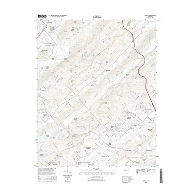
2016 Map of Powell
USGS Topo · Published 2016About this map
Chestnut Ridge and Copper Ridge dominate this portion of the Tennessee Valley, framing a landscape defined by linear ridges and fertile valleys where Bullrun Creek and Beaver Creek flow. The settlement of Powell serves as a central hub, surrounded by post-war residential expansions like Ponderosa Hills and Idlewood Acres. In the northwest, the city of Clinton sits along the banks of the Clinch River, where the waters of Melton Hill Lake create distinctive features like Eagle Bend and Clinton Island.
Find a feature on this map
261 named features on this map. Tap any name to fly to it.
Don’t see what you’re looking for? This feature index may not catch every label — zoom into the map to look around manually.
Map Details
Editions of this 2016 Powell Map
This is the sole edition of this map. No revisions or reprints were ever made.
Other maps of this area

1886 · Knoxville
USGS Topo · 1:125,000

1892 · Knoxville
USGS Topo · 1:125,000

1893 · Briceville
USGS Topo · 1:125,000

1894 · Knoxville
USGS Topo · 1:125,000

1895 · Loudon
USGS Topo · 1:125,000

1895 · Briceville
USGS Topo · 1:125,000

1895 · Knoxville
USGS Topo · 1:125,000

1896 · Briceville
USGS Topo · 1:125,000

1897 · Maynardville
USGS Topo · 1:125,000

1900 · Maynardville
USGS Topo · 1:125,000