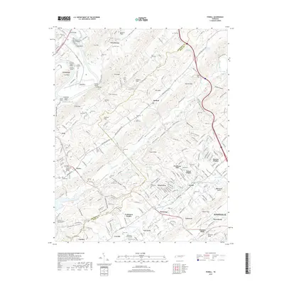
2019 Map of Powell
USGS Topo · Published 2019About this map
Bullrun Valley and Beaver Valley dominate this corridor of East Tennessee where the ridges of the Appalachian Valley and Ridge province run in parallel northeast-to-southwest bands. The map highlights a dense network of suburban development and rural heritage near Powell and the northern reaches of Knoxville. Numerous family and community cemeteries, such as the Slave Cem and Mabry Cem, indicate generations of local settlement. The terrain is defined by prominent elevations like Copper Ridge and Beaver Ridge, while water features like Hines Creek and Bullrun Creek wind through the lowlands. Cultural and religious hubs are central to the landscape, including Zion Baptist Church Cem in Claxton and Spring Hill Missionary Baptist Church Cem. Industrial and transport markers range from the Norfolk Southern railroad tracks to the Robertson Farm Airport, reflecting the area's mix of residential growth and enduring agricultural roots.
Find a feature on this map
276 named features on this map. Tap any name to fly to it.
Don’t see what you’re looking for? This feature index may not catch every label — zoom into the map to look around manually.
Map Details
Editions of this 2019 Powell Map
This is the sole edition of this map. No revisions or reprints were ever made.
Other maps of this area

1886 · Knoxville
USGS Topo · 1:125,000

1892 · Knoxville
USGS Topo · 1:125,000

1893 · Briceville
USGS Topo · 1:125,000

1894 · Knoxville
USGS Topo · 1:125,000

1895 · Loudon
USGS Topo · 1:125,000

1895 · Briceville
USGS Topo · 1:125,000

1895 · Knoxville
USGS Topo · 1:125,000

1896 · Briceville
USGS Topo · 1:125,000

1897 · Maynardville
USGS Topo · 1:125,000

1900 · Maynardville
USGS Topo · 1:125,000