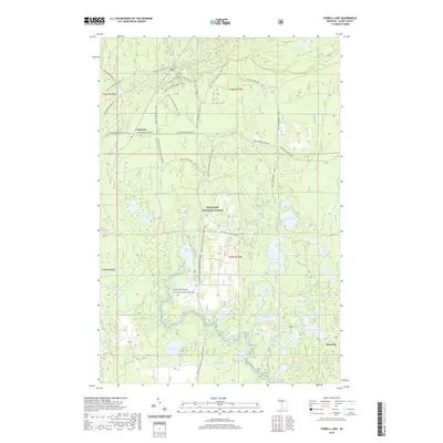
2019 Map of Powell Lake
USGS Topo · Published 2019About this map
Hiawatha National Forest defines the character of this Upper Peninsula landscape, where a dense network of recreational corridors now follows the paths of earlier industry. The Coalwood Grade ATV trail and the Big Spring-Baldy Lake Snowo route cut through the terrain, tracing the heritage of logging and transport near the settlement of Coalwood. This area is a significant hydrological hub, featuring the Indian Wild and Scenic River and the Little Indian River as they thread through a mosaic of glacial water bodies like Powell Lake, Hovey Lake, and Mirror Lake.
Find a feature on this map
54 named features on this map. Tap any name to fly to it.
Don’t see what you’re looking for? This feature index may not catch every label — zoom into the map to look around manually.
Map Details
Editions of this 2019 Powell Lake Map
This is the sole edition of this map. No revisions or reprints were ever made.
Other maps of this area

1931 · Skeels Lake NE
USGS Topo · 1:31,680

1931 · Munising SE
USGS Topo · 1:31,680

1958 · Corner Lake
USGS Topo · 1:62,500

1958 · Trenary
USGS Topo · 1:62,500

1958 · Munising
USGS Topo · 1:62,500

1958 · Au Train
USGS Topo · 1:62,500

1958 · Marquette
USGS Topo · 1:250,000

1960 · Marquette
USGS Topo · 1:250,000

1961 · Marquette
USGS Topo · 1:250,000

1968 · Marquette
USGS Topo · 1:250,000