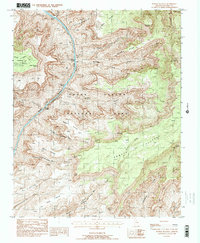
1988 Map of Powell Plateau
USGS Topo · Published 1988About this map
Colorado River navigation and the complex geology of the western canyon floor define this 1980s provisional study. The map documents a sequence of high-energy water features including Tapeats Rapids, Deubendorff Rapids, and Bedrock Rapids as they cut through the Granite Gorge. These river landmarks are framed by a series of dramatic geographic benches named for historical figures and explorers, such as Garces Terrace, Alarcon Terrace, and De Vaca Terrace.
Find a feature on this map
40 named features on this map. Tap any name to fly to it.
Don’t see what you’re looking for? This feature index may not catch every label — zoom into the map to look around manually.
Map Details
Editions of this 1988 Powell Plateau Map
2 editions found
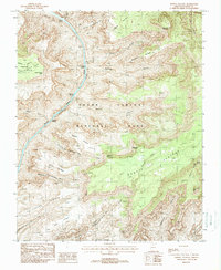
Other maps of this area

1886 · Kaibab
USGS Topo · 1:250,000

1953 · Grand Canyon
USGS Topo · 1:250,000

1957 · Grand Canyon
USGS Topo · 1:250,000

1958 · Grand Canyon
USGS Topo · 1:250,000

1960 · Grand Canyon
USGS Topo · 1:250,000

1962 · Kanab Point
USGS Topo · 1:62,500

1962 · Havasupai Point
USGS Topo · 1:62,500
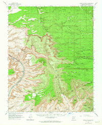
1962 · Powell Plateau
USGS Topo · 1:62,500

1962 · Supai
USGS Topo · 1:62,500

1984 · Grand Canyon
USGS Topo · 1:100,000