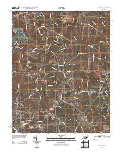
2010 Map of Powellton
USGS Topo · Published 2010About this map
Fort Christanna and the nearby Fort Hill stand as significant historical markers overlooking the Meherrin River in this section of Brunswick County. The landscape is defined by the winding river and a dense network of tributaries including Allen Creek, Coldwater Creek, and Quarrel Creek. While Lawrenceville Hills occupies the northern reach, the map reveals a more rural distribution of smaller settlements like Powellton, Greentown, and Fitzhugh.
Find a feature on this map
87 named features on this map. Tap any name to fly to it.
Don’t see what you’re looking for? This feature index may not catch every label — zoom into the map to look around manually.
Map Details
Editions of this 2010 Powellton Map
This is the sole edition of this map. No revisions or reprints were ever made.
Other maps of this area
1918 · Lawrenceville
USGS Topo · 1:62,500
1919 · Mc Kenney
USGS Topo · 1:48,000
1919 · White Plains
USGS Topo · 1:48,000
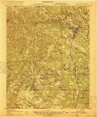
1919 · Emporia
USGS Topo · 1:62,500
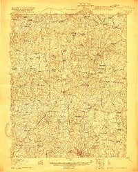
1920 · Lawrenceville
USGS Topo · 1:48,000
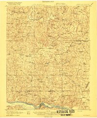
1920 · White Plains
USGS Topo · 1:62,500
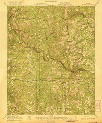
1921 · Mc Kenney
USGS Topo · 1:62,500
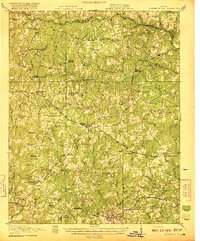
1921 · Lawrenceville
USGS Topo · 1:62,500
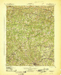
1942 · Lawrenceville
USGS Topo · 1:62,500
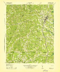
1942 · Emporia
USGS Topo · 1:62,500