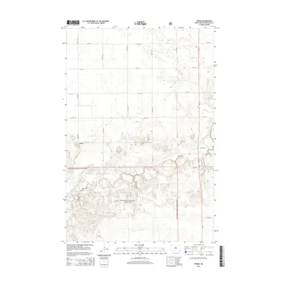
2014 Map of Power
USGS Topo · Published 2014About this map
The settlement of Power sits at the intersection of a grid-iron road network in this eastern North Dakota landscape. Much of the southern portion of the quadrangle is defined by the winding course of the Sheyenne River, which carves through the protected terrain of the Sheyenne National Grassland. The landscape reveals a complex pattern of sandy hills and depressions typical of the Sheyenne Delta, with isolated water bodies such as Mirror Pool appearing near the river's edge. Transportation is anchored by ND-18, running north-to-south along the eastern margin, while local routes like Co Road 23 and 60th St SE provide access through the grassland and agricultural tracts. This 2014 survey documents a region where modern conservation boundaries meet a long-established rural township structure.
Find a feature on this map
20 named features on this map. Tap any name to fly to it.
Don’t see what you’re looking for? This feature index may not catch every label — zoom into the map to look around manually.
Map Details
Editions of this 2014 Power Map
This is the sole edition of this map. No revisions or reprints were ever made.
Other maps of this area

1895 · Casselton
USGS Topo · 1:125,000

1897 · Casselton
USGS Topo · 1:125,000

1907 · Wyndmere
USGS Topo · 1:125,000

1953 · Fargo
USGS Topo · 1:250,000

1956 · Fargo
USGS Topo · 1:250,000

1959 · Kindred
USGS Topo · 1:24,000

1959 · Leonard
USGS Topo · 1:24,000

1959 · Wyndmere NE
USGS Topo · 1:24,000

1960 · Power
USGS Topo · 1:24,000

1960 · Barrie
USGS Topo · 1:24,000