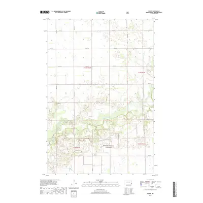
2017 Map of Power
USGS Topo · Published 2017About this map
Sheyenne National Grassland dominates the southern landscape of this Richland County survey, where the winding course of the Sheyenne River cuts through the prairie terrain. The small settlement of Power sits north of the river, positioned amidst a grid of section-line roads like 58th St SE and Co Rd 2. This area is characterized by a mix of protected public lands and active agricultural plots, connected by the long-distance N Country National Scenic Trail which meanders through the grassland and river bottoms. Local water features like Mirror Pool provide distinct landmarks within the larger prairie ecosystem. The mapping of township boundaries, including t136n r52w and t135n r51w, provides a precise framework for understanding the cadastral history and land divisions in this portion of North Dakota.
Find a feature on this map
19 named features on this map. Tap any name to fly to it.
Don’t see what you’re looking for? This feature index may not catch every label — zoom into the map to look around manually.
Map Details
Editions of this 2017 Power Map
This is the sole edition of this map. No revisions or reprints were ever made.
Other maps of this area

1895 · Casselton
USGS Topo · 1:125,000

1897 · Casselton
USGS Topo · 1:125,000

1907 · Wyndmere
USGS Topo · 1:125,000

1953 · Fargo
USGS Topo · 1:250,000

1956 · Fargo
USGS Topo · 1:250,000

1959 · Kindred
USGS Topo · 1:24,000

1959 · Leonard
USGS Topo · 1:24,000

1959 · Wyndmere NE
USGS Topo · 1:24,000

1960 · Power
USGS Topo · 1:24,000

1960 · Barrie
USGS Topo · 1:24,000