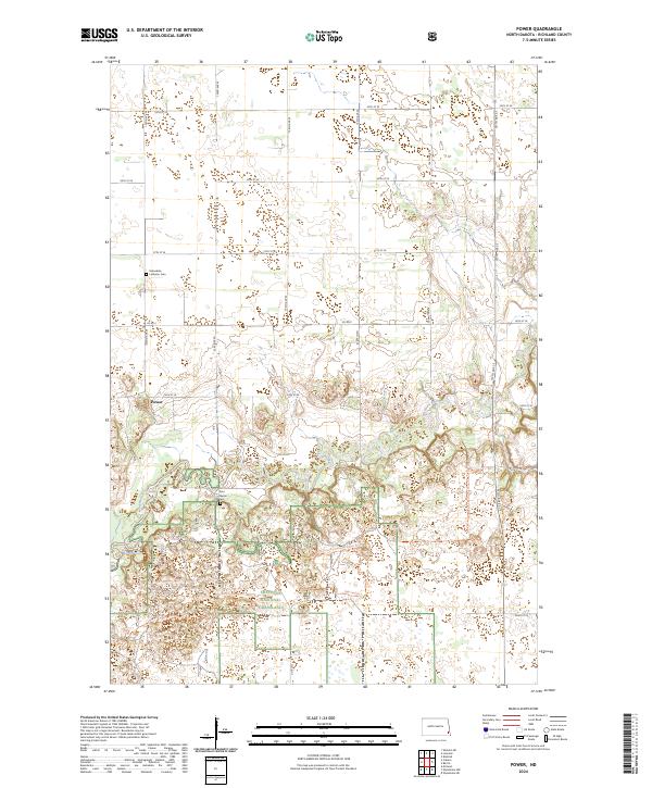
2024 Map of Power
USGS Topo · Published 2024About this map
The settlement of Power serves as a focal point in this portion of Richland County, where the transition from agricultural section lines to the protected environments of the Sheyenne National Grassland is clearly defined. The terrain is shaped by the winding course of the Sheyenne River, which creates a complex riparian corridor featuring the Mirror Pool and several smaller wetlands. This 2024 survey captures the intersection of local heritage and modern recreation, showing the proximity of the Helendale Lutheran Cem and Zion Lutheran Cem to long-distance trekking routes like the North Country National Scenic Trl. The map illustrates a landscape where established township and range lines meet the specialized trails of the national grassland, including the Oak Leaf Trl, reflecting the area's dual role as both a farming community and a conservation zone.
Find a feature on this map
28 named features on this map. Tap any name to fly to it.
Don’t see what you’re looking for? This feature index may not catch every label — zoom into the map to look around manually.
Map Details
Editions of this 2024 Power Map
This is the sole edition of this map. No revisions or reprints were ever made.
Other maps of this area

1895 · Casselton
USGS Topo · 1:125,000

1897 · Casselton
USGS Topo · 1:125,000

1907 · Wyndmere
USGS Topo · 1:125,000

1953 · Fargo
USGS Topo · 1:250,000

1956 · Fargo
USGS Topo · 1:250,000

1959 · Kindred
USGS Topo · 1:24,000

1959 · Leonard
USGS Topo · 1:24,000

1959 · Wyndmere NE
USGS Topo · 1:24,000

1960 · Power
USGS Topo · 1:24,000

1960 · Barrie
USGS Topo · 1:24,000