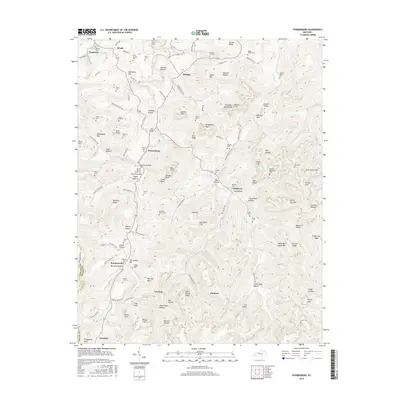
2016 Map of Powersburg
USGS Topo · Published 2016About this map
Otter Creek and its many tributaries, including Carpenter Fork and Double Head Cr, carve a complex landscape of bluffs and ridges through this section of Wayne County. The settlement pattern is defined by small, dispersed communities like Powersburg, Sunnybrook, and Hidalgo, many of which are linked by winding roads such as Tuggle Hollow Rd and Old Dry Hollow Rd. This area is particularly rich in family-named burial sites, including the Buck Graveyard, Hicks-Harmon Cem, and Dishman Cem, which provide a detailed genealogical record of the region's inhabitants. Prominent geological landmarks like Bills Bluff, Scotts Cliff, and Mitchell Knob overlook the valleys, while localized features such as Gap Creek Spring and Gum Pond highlight the important role of water sources in the upland terrain. The map also captures several points of interest for local historians, such as the Union Baptist Cem and the small hamlet of Slickford.
Find a feature on this map
132 named features on this map. Tap any name to fly to it.
Don’t see what you’re looking for? This feature index may not catch every label — zoom into the map to look around manually.
Map Details
Editions of this 2016 Powersburg Map
This is the sole edition of this map. No revisions or reprints were ever made.
Other maps of this area

1911 · Monticello
USGS Topo · 1:62,500

1914 · Monticello
USGS Topo · 1:62,500

1929 · Byrdstown
USGS Topo · 1:62,500

1934 · Pall Mall
USGS Topo · 1:62,500

1953 · Parnell
USGS Topo · 1:24,000

1953 · Monticello
USGS Topo · 1:24,000

1954 · Parmleysville
USGS Topo · 1:24,000

1954 · Cumberland City
USGS Topo · 1:24,000

1954 · Savage
USGS Topo · 1:24,000

1954 · Powersburg
USGS Topo · 1:24,000