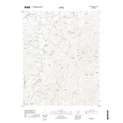
2019 Map of Powersburg
USGS Topo · Published 2019About this map
Powersburg and Slickford anchor this detailed study of the Cumberland plateau foothills along the Wayne County line. The landscape is defined by its deep hollows and named ridges, such as Denney Hollow and Chimney Rock Ridge, where small family settlements have long navigated the challenging terrain. Numerous burial sites including the Buck Graveyard, Hicks-Harmon Cem, and Denver-Hoover-Tuggle Cem are scattered across the hillsides, providing a granular record of local genealogy and lineage.
Find a feature on this map
128 named features on this map. Tap any name to fly to it.
Don’t see what you’re looking for? This feature index may not catch every label — zoom into the map to look around manually.
Map Details
Editions of this 2019 Powersburg Map
This is the sole edition of this map. No revisions or reprints were ever made.
Other maps of this area

1911 · Monticello
USGS Topo · 1:62,500

1914 · Monticello
USGS Topo · 1:62,500

1929 · Byrdstown
USGS Topo · 1:62,500

1934 · Pall Mall
USGS Topo · 1:62,500

1953 · Parnell
USGS Topo · 1:24,000

1953 · Monticello
USGS Topo · 1:24,000

1954 · Parmleysville
USGS Topo · 1:24,000

1954 · Cumberland City
USGS Topo · 1:24,000

1954 · Savage
USGS Topo · 1:24,000

1954 · Powersburg
USGS Topo · 1:24,000