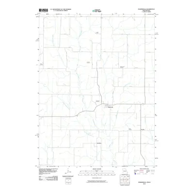
2010 Map of Powersville
USGS Topo · Published 2010About this map
Powersville serves as the central hub of this rural Missouri landscape, where the local road network converges near the Powersville Cemetery. The terrain is defined by the branching waterways of the Medicine Creek system, including the Middle Fork, East Fork, and West Fork Medicine Creek. These streams carve through a agricultural region dotted with small, named settlements such as Wyreka and Galesburg.
Find a feature on this map
33 named features on this map. Tap any name to fly to it.
Don’t see what you’re looking for? This feature index may not catch every label — zoom into the map to look around manually.
Map Details
Editions of this 2010 Powersville Map
This is the sole edition of this map. No revisions or reprints were ever made.
Other maps of this area

1942 · Seymour
USGS Topo · 1:62,500

1944 · Seymour
USGS Topo · 1:62,500

1954 · Centerville
USGS Topo · 1:250,000

1957 · Centerville
USGS Topo · 1:250,000

1958 · Centerville
USGS Topo · 1:250,000

1964 · Pollock NW
USGS Topo · 1:24,000

1964 · Ravanna
USGS Topo · 1:24,000

1964 · Lucerne
USGS Topo · 1:24,000

1964 · Allerton
USGS Topo · 1:24,000

1964 · Cleopatra
USGS Topo · 1:24,000