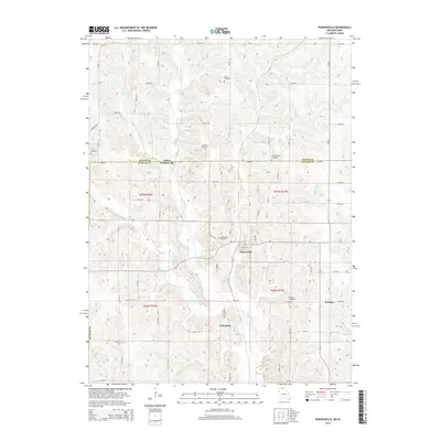
2014 Map of Powersville
USGS Topo · Published 2014About this map
Powersville sits at the heart of this North Central Missouri landscape, just south of the Iowa Missouri state line. The terrain is defined by the branching tributaries of Medicine Cr, including the Middle Fork Medicine Cr and E Fork Medicine Cr, which carve a detailed drainage pattern through the farmland of Putnam County. This 2014 survey reveals a series of small, established settlements such as Galesburg and Wyreka, connected by a network of rural routes like CR j54 and Birch Rd. Genealogists will find significant value in the numerous family and local burial sites preserved across the township, from the Banta Cemetery in the north to the Wyreka Cemetery in the southeast. The map clearly delineates the border between Wayne County, Iowa, and Missouri, showing how historical property lines and roads like Amherst respect this long-standing boundary.
Find a feature on this map
60 named features on this map. Tap any name to fly to it.
Don’t see what you’re looking for? This feature index may not catch every label — zoom into the map to look around manually.
Map Details
Editions of this 2014 Powersville Map
This is the sole edition of this map. No revisions or reprints were ever made.
Other maps of this area

1942 · Seymour
USGS Topo · 1:62,500

1944 · Seymour
USGS Topo · 1:62,500

1954 · Centerville
USGS Topo · 1:250,000

1957 · Centerville
USGS Topo · 1:250,000

1958 · Centerville
USGS Topo · 1:250,000

1964 · Pollock NW
USGS Topo · 1:24,000

1964 · Ravanna
USGS Topo · 1:24,000

1964 · Lucerne
USGS Topo · 1:24,000

1964 · Allerton
USGS Topo · 1:24,000

1964 · Cleopatra
USGS Topo · 1:24,000