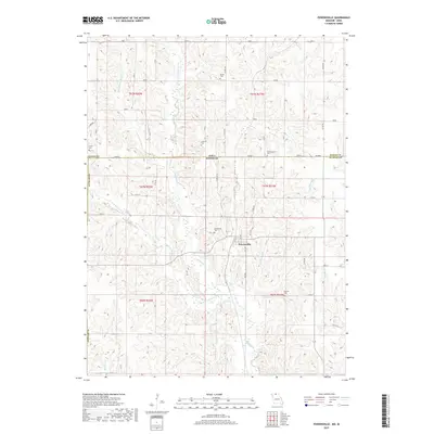
2017 Map of Powersville
USGS Topo · Published 2017About this map
Powersville sits at the heart of this landscape, positioned just south of the border where Iowa and Missouri meet. This 2017 survey reveals a deeply dissected terrain shaped by the complex drainage network of Medicine Creek, including its Middle Fork, East Fork, and West Fork. The branching pattern of these waterways and smaller tributaries like Buckworth Creek and Barker Creek dictates the placement of the rural road network, which follows the higher ridgelines between steep-walled valleys.
Find a feature on this map
35 named features on this map. Tap any name to fly to it.
Don’t see what you’re looking for? This feature index may not catch every label — zoom into the map to look around manually.
Map Details
Editions of this 2017 Powersville Map
This is the sole edition of this map. No revisions or reprints were ever made.
Other maps of this area

1942 · Seymour
USGS Topo · 1:62,500

1944 · Seymour
USGS Topo · 1:62,500

1954 · Centerville
USGS Topo · 1:250,000

1957 · Centerville
USGS Topo · 1:250,000

1958 · Centerville
USGS Topo · 1:250,000

1964 · Pollock NW
USGS Topo · 1:24,000

1964 · Ravanna
USGS Topo · 1:24,000

1964 · Lucerne
USGS Topo · 1:24,000

1964 · Allerton
USGS Topo · 1:24,000

1964 · Cleopatra
USGS Topo · 1:24,000