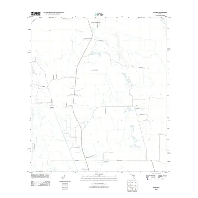
2012 Map of Poyner
USGS Topo · Published 2012About this map
The Withlacoochee River winds through the northern portion of this landscape, anchoring a rural territory defined by scattered settlements and agricultural transit. Small communities such as Eva, Poyner, Withla, and Berry are connected by a network of ranch and farm roads that reveal the area's development pattern. The presence of Paradise Ultralight Airpark near the northern boundary reflects a distinct local use of the flat terrain.
Find a feature on this map
39 named features on this map. Tap any name to fly to it.
Don’t see what you’re looking for? This feature index may not catch every label — zoom into the map to look around manually.
Map Details
Editions of this 2012 Poyner Map
This is the sole edition of this map. No revisions or reprints were ever made.
Other maps of this area

1944 · Providence
USGS Topo · 1:31,680

1944 · Polk City
USGS Topo · 1:31,680

1955 · Orlando
USGS Topo · 1:250,000

1957 · Orlando
USGS Topo · 1:250,000

1958 · Orlando
USGS Topo · 1:250,000

1959 · Gum Lake
USGS Topo · 1:24,000

1959 · Lake Nellie
USGS Topo · 1:24,000

1959 · Lake Louisa
USGS Topo · 1:24,000

1959 · Lake Louisa SW
USGS Topo · 1:24,000

1959 · Poyner
USGS Topo · 1:24,000