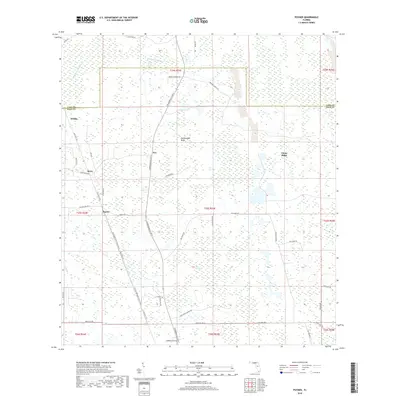
2018 Map of Poyner
USGS Topo · Published 2018About this map
Green Swamp and the headwaters of the Withlacoochee River define this portion of the Florida interior along the border of Lake and Polk Counties. The landscape is characterized by sprawling wetlands and low-lying ridges, most notably Rattlesnake Ridge and Citrus Ridge, which provide subtle elevation in a region dominated by marshes and pine flatwoods. Small, rural settlements such as Eva, Berry, and Withla are scattered along a network of remote roads and trails, including the Florida National Scenic Trail Van Fleet Trl, which follows a former railroad corridor through the heart of the swamp.
Find a feature on this map
50 named features on this map. Tap any name to fly to it.
Don’t see what you’re looking for? This feature index may not catch every label — zoom into the map to look around manually.
Map Details
Editions of this 2018 Poyner Map
This is the sole edition of this map. No revisions or reprints were ever made.
Other maps of this area

1944 · Providence
USGS Topo · 1:31,680

1944 · Polk City
USGS Topo · 1:31,680

1955 · Orlando
USGS Topo · 1:250,000

1957 · Orlando
USGS Topo · 1:250,000

1958 · Orlando
USGS Topo · 1:250,000

1959 · Gum Lake
USGS Topo · 1:24,000

1959 · Lake Nellie
USGS Topo · 1:24,000

1959 · Lake Louisa
USGS Topo · 1:24,000

1959 · Lake Louisa SW
USGS Topo · 1:24,000

1959 · Poyner
USGS Topo · 1:24,000