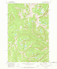
1971 Map of Pozega Lakes
USGS Topo · Published 1973About this map
Deer Lodge National Forest dominates this mountain landscape, defined by high-elevation basins and a dense concentration of glacial lakes. The topography is anchored by Racetrack Peak and the nearby Racetrack Pass, which served as critical navigation points for early travelers moving between the Flint Creek Range and the Deer Lodge Valley. Historical resource extraction is evident at the Powell Mines and various unnamed Mine and Prospect sites, suggesting a period of active mineral exploration in these remote drainages.
Find a feature on this map
51 named features on this map. Tap any name to fly to it.
Don’t see what you’re looking for? This feature index may not catch every label — zoom into the map to look around manually.
Map Details
Editions of this 1971 Pozega Lakes Map
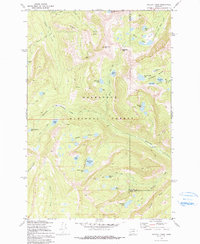
2 editions found
Other maps of this area

1889 · Helena
USGS Topo · 1:250,000

1893 · Helena
USGS Topo · 1:250,000

1899 · Helena
USGS Topo · 1:250,000

1903 · Helena
USGS Topo · 1:250,000

1908 · Philipsburg
USGS Topo · 1:125,000

1947 · Butte
USGS Topo · 1:250,000

1958 · Butte
USGS Topo · 1:250,000

1960 · Butte
USGS Topo · 1:250,000

1961 · Anaconda
USGS Topo · 1:62,500

1962 · Butte
USGS Topo · 1:250,000