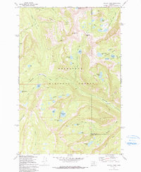
1971 Map of Pozega Lakes
USGS Topo · Published 1991About this map
Powell Mines sit high on the slopes above Finley Basin, marking a landscape defined by high-altitude extraction and rugged hydrology within the Deerlodge National Forest. The 1971 field check reveals a complex network of glacial cirque lakes and drainage systems, including the namesake Big Pozega Lake and Little Pozega Lake positioned just south of Indian Meadows. The terrain is interconnected by an extensive system of pack trails, such as the Boulder Pack Trail and the Racetrack Pack Trail, which provided essential access to the remote Racetrack Peak and surrounding summits. This survey documents the area's transition into a recreational and wilderness resource, preserving the locations of several Mines and prospect sites that speak to the region's earlier industrial activity before the focus shifted entirely toward federal land management.
Find a feature on this map
47 named features on this map. Tap any name to fly to it.
Don’t see what you’re looking for? This feature index may not catch every label — zoom into the map to look around manually.
Map Details
Editions of this 1971 Pozega Lakes Map
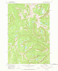
2 editions found
Other maps of this area

1889 · Helena
USGS Topo · 1:250,000

1893 · Helena
USGS Topo · 1:250,000

1899 · Helena
USGS Topo · 1:250,000

1903 · Helena
USGS Topo · 1:250,000

1908 · Philipsburg
USGS Topo · 1:125,000

1947 · Butte
USGS Topo · 1:250,000

1958 · Butte
USGS Topo · 1:250,000

1960 · Butte
USGS Topo · 1:250,000

1961 · Anaconda
USGS Topo · 1:62,500

1962 · Butte
USGS Topo · 1:250,000