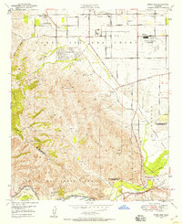
1949 Map of Prado Dam
USGS Topo · Published 1958About this map
California Institution for Men and the Cal-Aero Flight Academy dominate the landscape north of the Prado Flood Control Basin in this mid-century survey. The terrain transitions from the developed grids of Santa Ana Del Chino, marked by an extensive network of avenues, to the steep elevations of the Chino Hills. Notable institutional landmarks include the Junior Republic School and the Casa Colinda Crippled Childrens Home near Los Serranos.
Find a feature on this map
46 named features on this map. Tap any name to fly to it.
Don’t see what you’re looking for? This feature index may not catch every label — zoom into the map to look around manually.
Map Details
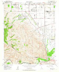
Editions of this 1949 Prado Dam Map
2 editions found
Other maps of this area

1894 · Pomona
USGS Topo · 1:62,500

1896 · Anaheim
USGS Topo · 1:62,500

1897 · Pomona
USGS Topo · 1:62,500

1897 · Cucamonga
USGS Topo · 1:62,500

1898 · Pomona
USGS Topo · 1:62,500

1898 · Anaheim
USGS Topo · 1:62,500

1900 · Cucamonga
USGS Topo · 1:62,500

1901 · Southern California Sheet No. 1
USGS Topo · 1:250,000

1901 · Anaheim
USGS Topo · 1:62,500

1902 · Corona
USGS Topo · 1:125,000