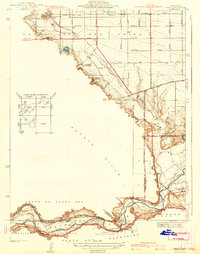
1941 Map of Prado
USGS Topo · Published 1941About this map
The Santa Ana River carves a critical path through this landscape, meeting the confluence of Chino Creek and Mill Creek near the settlement of Prado. This pre-war survey illustrates a region defined by its water management and transit infrastructure, including the Atchison Canal and Imperial Canal alongside the Atchison Topeka and Santa Fe Railway. To the north, the City of Chino expands through a rigid grid of avenues like Edison Avenue and Merrill Avenue, while the foothills of the Puente Hills remain dominated by agricultural and recreational interests such as Pelissier Ranch and the Los Serranos Country Club. Local educational history is anchored by the Junior Republic School and Pioneer Sch, providing a detailed record of the community's early social foundations before the major suburban shifts of the mid-20th century.
Find a feature on this map
38 named features on this map. Tap any name to fly to it.
Don’t see what you’re looking for? This feature index may not catch every label — zoom into the map to look around manually.
Map Details
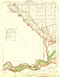
Editions of this 1941 Prado Map
2 editions found
Other maps of this area

1894 · Pomona
USGS Topo · 1:62,500

1896 · Anaheim
USGS Topo · 1:62,500

1897 · Pomona
USGS Topo · 1:62,500

1897 · Cucamonga
USGS Topo · 1:62,500

1898 · Pomona
USGS Topo · 1:62,500

1898 · Anaheim
USGS Topo · 1:62,500

1900 · Cucamonga
USGS Topo · 1:62,500

1901 · Southern California Sheet No. 1
USGS Topo · 1:250,000

1901 · Anaheim
USGS Topo · 1:62,500

1902 · Corona
USGS Topo · 1:125,000