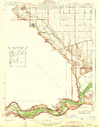
1941 Map of Prado
USGS Topo · Published 1941About this map
The Santa Ana River carves a winding path through this 1930s landscape, just before the construction of the Prado Dam altered the local geography. The settlement of Prado sits at a critical junction near the confluence of Chino Creek and Mill Creek, surrounded by a network of early California ranching and agriculture. The map illustrates the complex infrastructure of the era, from the sprawling irrigation of the Cañon de Santa Ana to the industrial presence of the Gypsum mine. Significant institutional landmarks are noted, including the Junior Republic School and the Pioneer Sch. Transportation is dominated by the competing steel of the Union Pacific and the Atchison Topeka and Santa Fe (Coast Lines), which follow the river's natural corridor through the Puente Hills. Smaller ranching sites like Pellissier Ranch and the Los Serranos Country Club reflect the transition from open land to developed social and commercial spaces.
Find a feature on this map
33 named features on this map. Tap any name to fly to it.
Don’t see what you’re looking for? This feature index may not catch every label — zoom into the map to look around manually.
Map Details
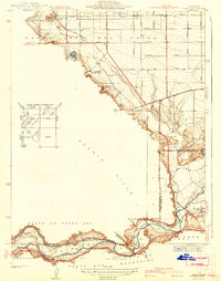
Editions of this 1941 Prado Map
2 editions found
Other maps of this area

1894 · Pomona
USGS Topo · 1:62,500

1896 · Anaheim
USGS Topo · 1:62,500

1897 · Pomona
USGS Topo · 1:62,500

1897 · Cucamonga
USGS Topo · 1:62,500

1898 · Pomona
USGS Topo · 1:62,500

1898 · Anaheim
USGS Topo · 1:62,500

1900 · Cucamonga
USGS Topo · 1:62,500

1901 · Southern California Sheet No. 1
USGS Topo · 1:250,000

1901 · Anaheim
USGS Topo · 1:62,500

1902 · Corona
USGS Topo · 1:125,000