2024 Map of Prague
USGS Topo · Published 2024About this map
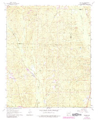
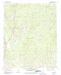
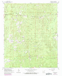
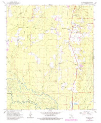
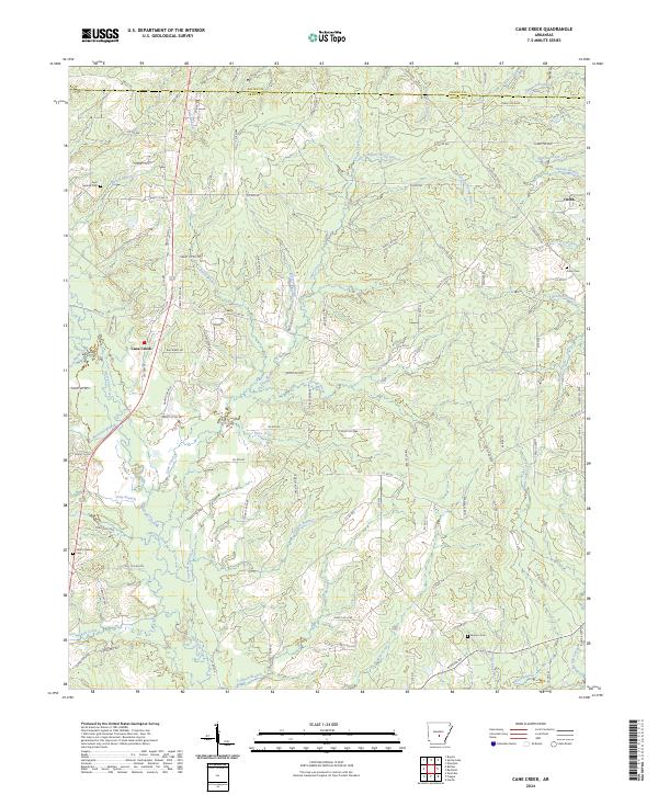
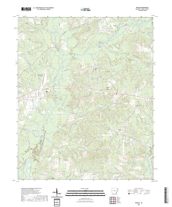
Hurricane Creek and its many tributaries, including Mill Creek and Big Brushy Creek, carve a complex drainage pattern across this section of Grant County. The landscape is defined by the small settlements of Prague and Center Grove, which serve as local hubs connected by a network of county and forest roads. A significant modern landmark, the Sheridan-Grant County Regional Airport, occupies a cleared plateau in the northwestern quadrant, contrasting with the dense drainage networks of the surrounding timberland.
Find a feature on this map
104 named features on this map. Tap any name to fly to it.
Don’t see what you’re looking for? This feature index may not catch every label — zoom into the map to look around manually.
Map Details
Editions of this 2024 Prague Map
This is the sole edition of this map. No revisions or reprints were ever made.
Historical Maps of Ebb Through Time
10 maps found