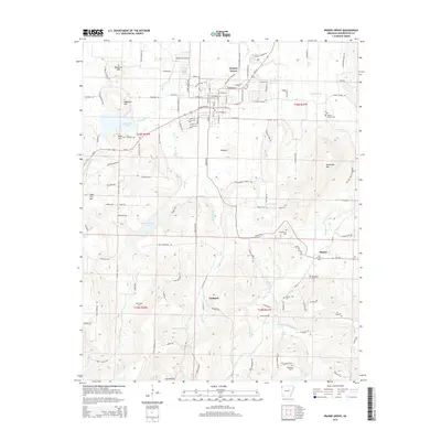
2014 Map of Prairie Grove
USGS Topo · Published 2014About this map
The Illinois River and its numerous tributaries, including the Muddy Fork and Sulphur Fork, carve a complex landscape of ridges and valleys southwest of Fayetteville. Significant elevations like Mayberry Mtn, Wolf Mtn, and the prominent Pinnacle define the local topography, while water sources such as Big Spring and Living Waters Spring indicate the region's karst-like hydrology. The settlement of Prairie Grove sits at a crossroads of historical significance, supported by smaller communities at Hogeye and Hubbard. Family history is deeply rooted here, evidenced by a high density of rural burial grounds such as Billingsley Cem, Howell Cem, and Parks Cem. Public works and recreation are visible in the footprints of Lake Prairie Grove and Budd Kidd Lake, which supplement the natural flow of the local creek systems.
Find a feature on this map
125 named features on this map. Tap any name to fly to it.
Don’t see what you’re looking for? This feature index may not catch every label — zoom into the map to look around manually.
Map Details
Editions of this 2014 Prairie Grove Map
This is the sole edition of this map. No revisions or reprints were ever made.
Other maps of this area

1898 · Winslow
USGS Topo · 1:125,000

1899 · Fayetteville
USGS Topo · 1:125,000

1901 · Winslow
USGS Topo · 1:125,000

1901 · Fayetteville
USGS Topo · 1:125,000

1904 · Fayetteville
USGS Topo · 1:125,000

1946 · Fort Smith
USGS Topo · 1:250,000

1954 · Tulsa
USGS Topo · 1:250,000

1958 · Fayetteville
USGS Topo · 1:24,000

1958 · Tulsa
USGS Topo · 1:250,000

1963 · Tulsa
USGS Topo · 1:250,000