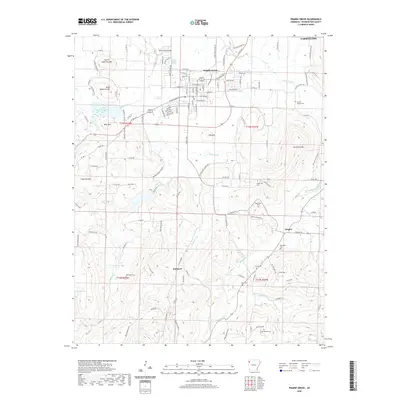
2020 Map of Prairie Grove
USGS Topo · Published 2020About this map
Prairie Grove and the neighboring hills of Washington County are characterized by a transition from the agricultural plains of the Illinois River valley to the higher elevations of the Ozark foothills. This survey reveals a landscape where modern development around Farmington and Prairie Grove exists alongside significant sites of local heritage, including the Illinois Chapel Cem and New Hope Cem. The terrain is marked by distinctive peaks such as North Mayberry Mtn and Wolf Mtn, while the hydrology is dominated by the Muddy Fork and the unique Living Waters Spring. Smaller hamlets like Hogeye and Hubbard remain centers of rural life, connected by a network of county roads that follow the natural contours of the ridges and valleys, preserving the historic settlement patterns of the region.
Find a feature on this map
129 named features on this map. Tap any name to fly to it.
Don’t see what you’re looking for? This feature index may not catch every label — zoom into the map to look around manually.
Map Details
Editions of this 2020 Prairie Grove Map
This is the sole edition of this map. No revisions or reprints were ever made.
Other maps of this area

1898 · Winslow
USGS Topo · 1:125,000

1899 · Fayetteville
USGS Topo · 1:125,000

1901 · Winslow
USGS Topo · 1:125,000

1901 · Fayetteville
USGS Topo · 1:125,000

1904 · Fayetteville
USGS Topo · 1:125,000

1946 · Fort Smith
USGS Topo · 1:250,000

1954 · Tulsa
USGS Topo · 1:250,000

1958 · Fayetteville
USGS Topo · 1:24,000

1958 · Tulsa
USGS Topo · 1:250,000

1963 · Tulsa
USGS Topo · 1:250,000