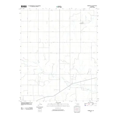
2010 Map of Prairie Hill
USGS Topo · Published 2010About this map
Gypsum Creek meanders across this rural landscape in Jackson County, Oklahoma, defining a terrain largely shaped by its hydrological patterns. This 2010 survey illustrates a grid-like network of country roads, including E1650 Rd and N1920 Rd, that serve a region dedicated to agricultural or ranching pursuits. A notable point of water management in the northeastern quadrant is the Tri-County/Turkey Creek Site 27 Dam, which signifies the area's efforts to control seasonal flow and soil erosion. The map provides a clear picture of the modern land divisions and rural infrastructure typical of the southern Oklahoma plains, where the names of local arteries like E1730 Rd and N1870 Rd provide essential reference points for researchers of contemporary local history.
Find a feature on this map
19 named features on this map. Tap any name to fly to it.
Don’t see what you’re looking for? This feature index may not catch every label — zoom into the map to look around manually.
Map Details
Editions of this 2010 Prairie Hill Map
This is the sole edition of this map. No revisions or reprints were ever made.
Other maps of this area

1955 · Lawton
USGS Topo · 1:250,000

1958 · Elmer
USGS Topo · 1:62,500

1960 · Quanah
USGS Topo · 1:62,500

1964 · Martha
USGS Topo · 1:24,000

1964 · Olustee
USGS Topo · 1:24,000

1971 · Mc Queen
USGS Topo · 1:24,000

1971 · Duke SW
USGS Topo · 1:24,000

1971 · Duke
USGS Topo · 1:24,000

1971 · Prairie Hill
USGS Topo · 1:24,000

1975 · Quanah NE
USGS Topo · 1:24,000