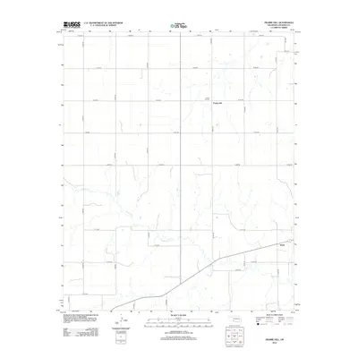
2012 Map of Prairie Hill
USGS Topo · Published 2012About this map
Prairie Hill and the surrounding Jackson County countryside are defined by a strictly surveyed grid of section roads and the winding path of Gypsum Cr. This 2012 survey illustrates a landscape primarily dedicated to agriculture, where the small settlement of Marty sits at a junction in the southeast. The area's history is anchored by the Prairie Hill Cem, a vital landmark for local genealogists and historians tracking family roots in this corner of Oklahoma. The network of rural routes, including N1920 Rd and E1670 Rd, connects scattered homesteads and fields, while the creek provides the primary natural break in the geometric order of the plains. This map captures the persistent rural character of the region as it appeared in the early 21st century.
Find a feature on this map
23 named features on this map. Tap any name to fly to it.
Don’t see what you’re looking for? This feature index may not catch every label — zoom into the map to look around manually.
Map Details
Editions of this 2012 Prairie Hill Map
This is the sole edition of this map. No revisions or reprints were ever made.
Other maps of this area

1955 · Lawton
USGS Topo · 1:250,000

1958 · Elmer
USGS Topo · 1:62,500

1960 · Quanah
USGS Topo · 1:62,500

1964 · Martha
USGS Topo · 1:24,000

1964 · Olustee
USGS Topo · 1:24,000

1971 · Mc Queen
USGS Topo · 1:24,000

1971 · Duke SW
USGS Topo · 1:24,000

1971 · Duke
USGS Topo · 1:24,000

1971 · Prairie Hill
USGS Topo · 1:24,000

1975 · Quanah NE
USGS Topo · 1:24,000