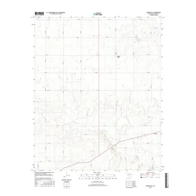
2016 Map of Prairie Hill
USGS Topo · Published 2016About this map
Prairie Hill and the small settlements of Creta and Marty anchor this section of Jackson County, Oklahoma, in a landscape defined by its agricultural grid and the winding course of Gypsum Cr. The area is marked by the presence of the Prairie Hill Cem, a vital point of interest for genealogists researching family history in this corner of the state. The terrain reflects the region's hydrological management, notably featuring the Tri-County Turkey Creek Site 27 Reservoir in the northeastern quadrant. The map reveals a strictly organized section line road system, from E1650 Rd in the north to E1730 Rd in the south, illustrating the enduring layout of rural Oklahoma ranch and farm lands into the early 21st century.
Find a feature on this map
25 named features on this map. Tap any name to fly to it.
Don’t see what you’re looking for? This feature index may not catch every label — zoom into the map to look around manually.
Map Details
Editions of this 2016 Prairie Hill Map
This is the sole edition of this map. No revisions or reprints were ever made.
Other maps of this area

1955 · Lawton
USGS Topo · 1:250,000

1958 · Elmer
USGS Topo · 1:62,500

1960 · Quanah
USGS Topo · 1:62,500

1964 · Martha
USGS Topo · 1:24,000

1964 · Olustee
USGS Topo · 1:24,000

1971 · Mc Queen
USGS Topo · 1:24,000

1971 · Duke SW
USGS Topo · 1:24,000

1971 · Duke
USGS Topo · 1:24,000

1971 · Prairie Hill
USGS Topo · 1:24,000

1975 · Quanah NE
USGS Topo · 1:24,000