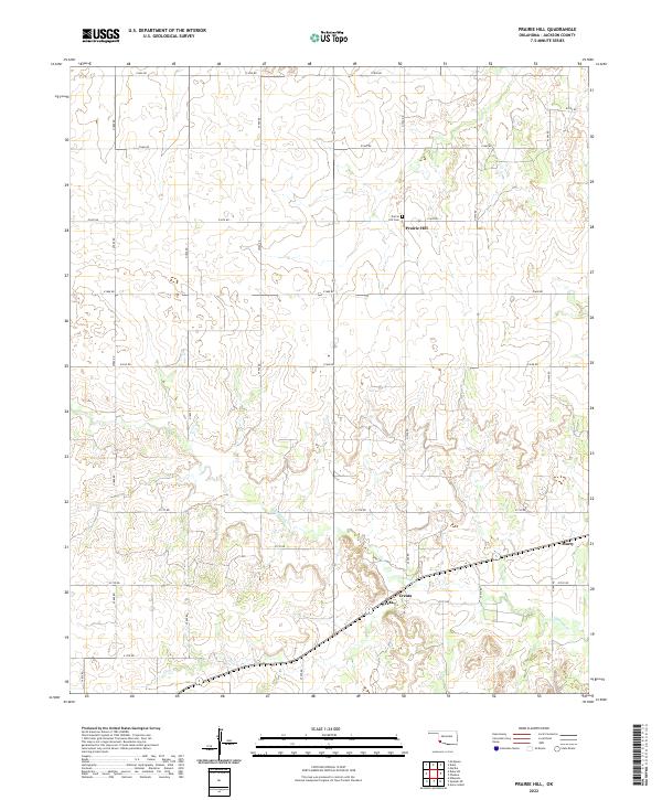
2022 Map of Prairie Hill
USGS Topo · Published 2022About this map
Prairie Hill and the surrounding Jackson County countryside are defined by a grid of agricultural section roads and the winding path of Gypsum Cr. This 2022 survey captures the rural character of southwestern Oklahoma, where small named localities like Creata and Marty anchor the landscape. The Prairie Hill Cem stands as a central landmark for local genealogy, situated near the intersection of e1670 RD and n1920 RD. The terrain is characterized by subtle elevation changes and the drainage patterns of several unnamed tributaries that feed into the main creek bed. The map provides a contemporary view of these established settlements and the enduring township-and-range boundaries that have organized this territory since its early settlement period.
Find a feature on this map
30 named features on this map. Tap any name to fly to it.
Don’t see what you’re looking for? This feature index may not catch every label — zoom into the map to look around manually.
Map Details
Editions of this 2022 Prairie Hill Map
This is the sole edition of this map. No revisions or reprints were ever made.
Other maps of this area

1955 · Lawton
USGS Topo · 1:250,000

1958 · Elmer
USGS Topo · 1:62,500

1960 · Quanah
USGS Topo · 1:62,500

1964 · Martha
USGS Topo · 1:24,000

1964 · Olustee
USGS Topo · 1:24,000

1971 · Mc Queen
USGS Topo · 1:24,000

1971 · Duke SW
USGS Topo · 1:24,000

1971 · Duke
USGS Topo · 1:24,000

1971 · Prairie Hill
USGS Topo · 1:24,000

1975 · Quanah NE
USGS Topo · 1:24,000