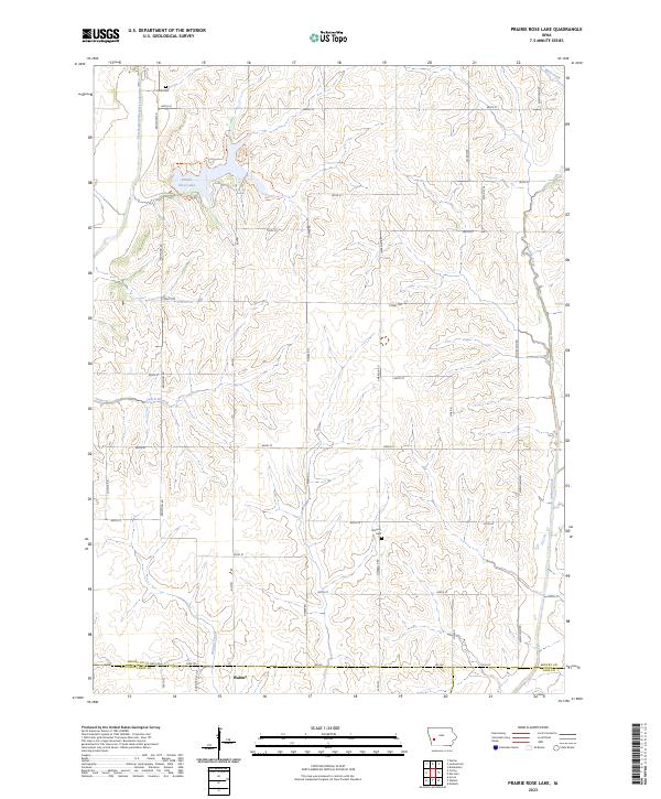
2023 Map of Prairie Rose Lake
USGS Topo · Published 2023About this map
Prairie Rose Lake serves as a central geographical landmark in this section of Shelby County, where the undulating terrain is defined by the drainage of the East Branch West Nishnabotna River and numerous tributaries like Dutch Branch and Wolf Creek. The landscape transition from the higher elevations near Folck Cem in the north to the more level agricultural land toward Walnut in the south reveals the enduring rural character of the region. Local heritage is grounded in the presence of established burial sites such as Monroe Cem and the historical section lines that partition townships like T78N R38W and T79N R37W.
Find a feature on this map
42 named features on this map. Tap any name to fly to it.
Don’t see what you’re looking for? This feature index may not catch every label — zoom into the map to look around manually.
Map Details
Editions of this 2023 Prairie Rose Lake Map
This is the sole edition of this map. No revisions or reprints were ever made.
Other maps of this area

1954 · Omaha
USGS Topo · 1:250,000

1957 · Omaha
USGS Topo · 1:250,000

1958 · Omaha
USGS Topo · 1:250,000

1963 · Avoca
USGS Topo · 1:24,000

1971 · Walnut
USGS Topo · 1:24,000

1971 · Atlantic
USGS Topo · 1:24,000

1978 · Elk Horn
USGS Topo · 1:24,000

1978 · Kimballton
USGS Topo · 1:24,000

1978 · Corley
USGS Topo · 1:24,000

1978 · Prairie Rose Lake
USGS Topo · 1:24,000