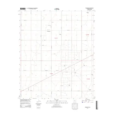
2013 Map of Prairieview
USGS Topo · Published 2013About this map
Prairieview anchors this 2013 survey of the High Plains in Lea County, illustrating a landscape defined by ranching legacies and industrial extraction. The settlement pattern is dominated by expansive holdings such as Fort Ranch, Pope Ranch, and Dickinson Ranch, while the natural drainage of McKenzie Draw cuts through the northern sections. A network of county roads, including Co Road 134 and N Prairieview Rd, connects these remote outposts.
Find a feature on this map
44 named features on this map. Tap any name to fly to it.
Don’t see what you’re looking for? This feature index may not catch every label — zoom into the map to look around manually.
Map Details
Editions of this 2013 Prairieview Map
This is the sole edition of this map. No revisions or reprints were ever made.
Other maps of this area

1954 · Hobbs
USGS Topo · 1:250,000

1954 · Brownfield
USGS Topo · 1:250,000

1958 · Brownfield
USGS Topo · 1:250,000

1958 · Hobbs
USGS Topo · 1:250,000

1962 · Brownfield
USGS Topo · 1:250,000

1962 · Lovington
USGS Topo · 1:24,000

1962 · Lovington
USGS Topo · 1:62,500

1969 · Humble City NE
USGS Topo · 1:24,000

1970 · Prairieview
USGS Topo · 1:24,000

1970 · Prairieview NE
USGS Topo · 1:24,000