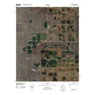
2010 Map of Prairieview SE
USGS Topo · Published 2010About this map
Antioch Baptist Church serves as a primary community landmark in this high-plains landscape straddling the border of New Mexico and Texas. Situated on the Llano Estacado, the terrain is defined by its vastness and a network of county roads like Antioch Rd and State Line Rd that section the land into large industrial and agricultural tracts. Water management is a central theme of the geography, evidenced by several family or location-named landmarks including the East Farm Windmill, Mormon Windmill, and Northeast Windmill. These features, along with the intermittent path of Mc Kenzie Draw, reflect the reliance on groundwater in this arid region. The industrial footprint is concentrated at the W B D Oil Field, marking the area's role in the regional energy economy during the early 21st century.
Find a feature on this map
27 named features on this map. Tap any name to fly to it.
Don’t see what you’re looking for? This feature index may not catch every label — zoom into the map to look around manually.
Map Details
Editions of this 2010 Prairieview SE Map
This is the sole edition of this map. No revisions or reprints were ever made.
Other maps of this area

1954 · Hobbs
USGS Topo · 1:250,000

1954 · Brownfield
USGS Topo · 1:250,000

1958 · Brownfield
USGS Topo · 1:250,000

1958 · Hobbs
USGS Topo · 1:250,000

1962 · Brownfield
USGS Topo · 1:250,000

1969 · Humble City NE
USGS Topo · 1:24,000

1970 · Prairieview
USGS Topo · 1:24,000

1970 · Prairieview NE
USGS Topo · 1:24,000

1970 · Prairieview NW
USGS Topo · 1:24,000

1970 · Prairieview SE
USGS Topo · 1:24,000